


Every so often, something extraordinary reminds us just how much history lies beneath our everyday paths. That’s exactly what happened when the Texas Department of Transportation (TxDOT) partnered with the Texas Speleological Survey for a one-of-a-kind mapping project right here in our backyard at the beloved Inner Space Cavern in Georgetown.
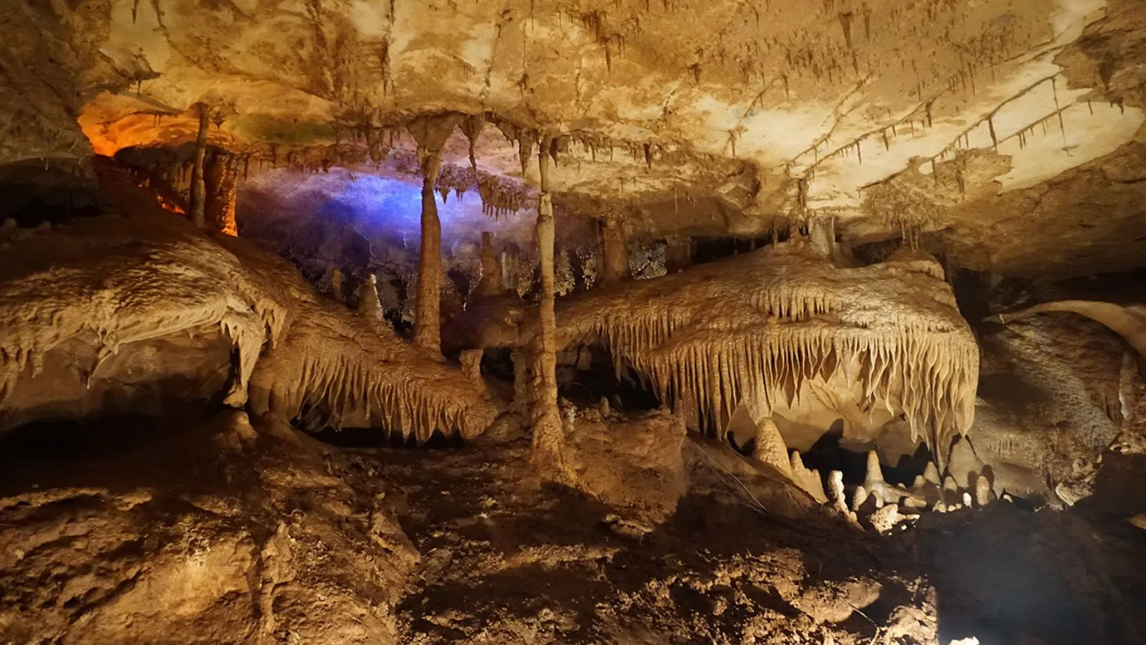
Discovered in 1963 by a TxDOT drilling crew during construction of I-35, Inner Space Cavern has since become one of Georgetown’s most iconic attractions. It remained hidden for over 10,000 years, sealed beneath layers of rock, preserving stunning formations and fossils from the Ice Age. Since opening to the public in 1966, it’s welcomed generations of visitors into its cool, silent chambers.
But even after all these years, parts of the cave have remained unseen. Until now.
According to a recent feature story published by TxDOT, a team of geologists, engineers, and cave specialists conducted a comprehensive 3D mapping project of the Inner Space Cavern system, including areas not explored since the 1960s. This updated survey helps TxDOT better understand how the cavern connects with the highway infrastructure above, and informs future planning and preservation.
This is more than just a science story, it’s a Georgetown story. It’s a reminder of how much rich history and mystery we have beneath our feet and how science, community, and infrastructure can work hand in hand.
We’re grateful to see this kind of careful stewardship of our land and resources, and we look forward to what new stories these ancient rocks might tell us next.


Comments